Windrose by any other name: An ancient dance between weather and sea
In June 2025, Kevin McGraw had the extraordinary opportunity to sail aboard the Statsraad Lehmkuhl as she cut through the North Atlantic, not just as crew but as a scientist tracking the very winds that filled her sails. McGraw recalls a journey from Reykjavik to Nice.
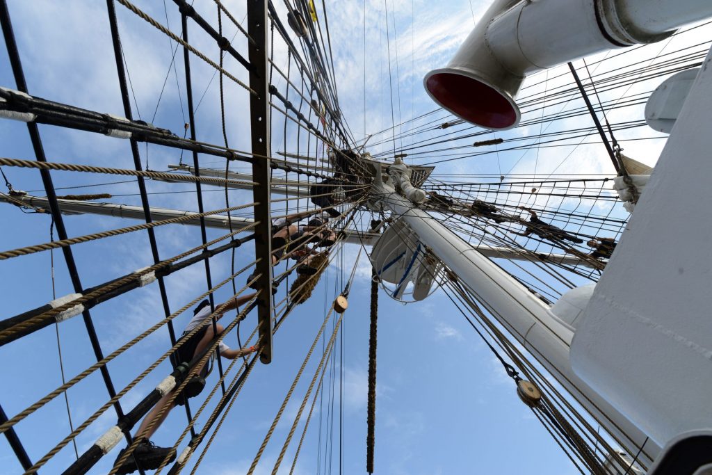
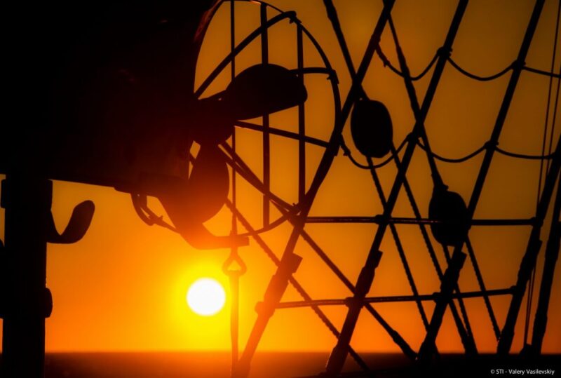
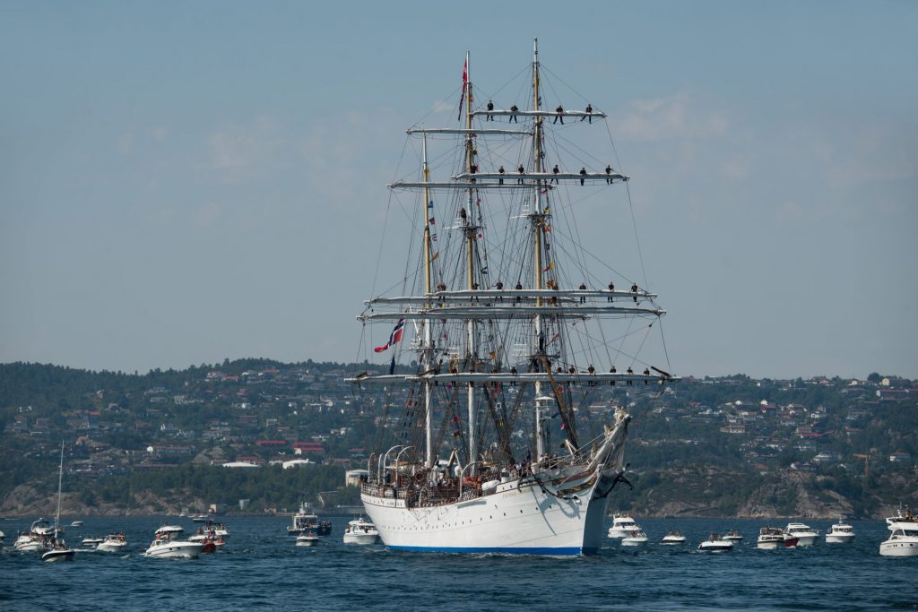
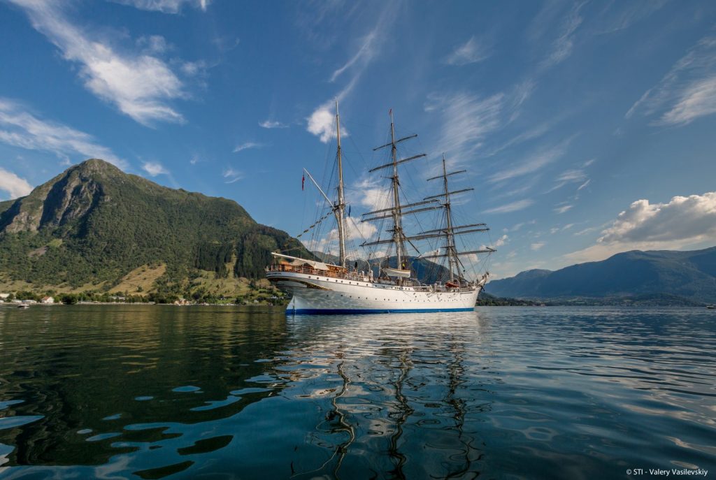
The Statsraad Lehmkuhl cuts through North Atlantic swells like a ship from another century because she is one. This magnificent three-masted barque, launched in 1914, still spreads her canvas to catch the wind, though modern engines hum quietly below deck as backup.
In May and June 2025, I had the extraordinary opportunity to sail aboard her from Reykjavik to Nice, not just as crew, but as a scientist tracking the very winds that filled her sails.
What started as part of the European Space Agency’s Ocean Synergy Training Course became an unexpected journey into the ancient dance between weather and sea: a dance that has shaped maritime history and continues to influence our changing climate today.
Perched 19 meters above the waterline atop the Lehmkuhl’s mizzen mast (aft most), a Gill WC76 sonic anemometer recorded wind speed and direction every few seconds. Measurements were referenced to the mast height, and raw data were processed to remove spikes, compensate for ship motion, and produce 10-minute vector means, providing a clean, high-resolution view of the winds encountered along the route. Wind speeds were then binned into 10 degree sectors and coloured by speed.
This sophisticated instrument measured wind speed accurately and consistently creating a detailed portrait of the atmospheric currents we sailed through. But the real story wasn’t the technology, it was in the patterns we discovered, patterns that mariners have known for centuries.
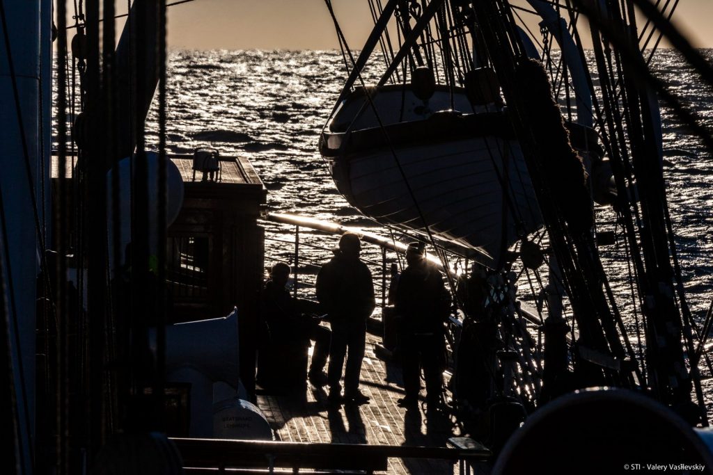
We left Reykjavik headed straight into the teeth of a North Atlantic storm. Soon we were battling gale-force winds and squalls that painted the deck with sleet. Ice formed on the rigging faster than the weak spring sun could melt it, and even experienced crew members moved carefully along safety lines as the ship pitched through mountainous seas.
This was our introduction to the Icelandic Low, one of the great atmospheric engines that drives North Atlantic weather. Together with its partner, the Azores High far to the south, these pressure systems create the North Atlantic Oscillation: a climate pattern that has influenced everything from Viking voyages to modern shipping routes.


By May 15th, something unusual was happening in the atmosphere above us. Weather maps revealed what meteorologists call an ‘omega block’ – a massive kink in the jet stream shaped like the Greek letter Ω (omega). This atmospheric traffic jam was parked over Scotland, forcing the usual westerly winds to take a detour around it.
The consequences were dramatic. The blocked circulation trapped warm air over the eastern North Atlantic, creating what scientists call a marine heatwave (ocean temperatures rising 1-2°C above normal). Irish coastal buoys confirmed what our instruments aboard the Lehmkuhl were detecting: the sea was running a fever. By mid May buoy records from IMDBON (The Irish Marine Data Buoy Observation Network) indicated sea surface temperatures elevated above normal for the year by +0.6–2.2°C along Ireland’s west coast, consistent with reduced mixing and enhanced insolation.
On May 20, NOAA confirmed marine heatwave conditions in the eastern North Atlantic.
As we sailed south we encountered wind patterns that Portuguese explorers would have recognised immediately. Off the coast of Iberia, we met the Nortada; a reliable northwesterly wind that has been filling sails for over 500 years.
The Nortada isn’t just maritime folklore; it’s a coastal low-level jet created when the Azores High pressure system interacts with hot air rising from the sun-baked Iberian Peninsula. This low pressure over the land is called an “Iberian Low” and accelerates the Nortada. Portuguese navigators during the Age of Discovery relied on this wind to carry them south toward Africa and the Indies. Today, the same wind drives one of the world’s most productive fishing grounds by pulling cold nutrient-rich water up from the depths. This same wind is responsible for massive waves at some of the most famous surfing beaches along the Portuguese coast.
At the Strait of Gibraltar we faced the legendary Levanter; an easterly wind that has been the bane of Mediterranean sailors for millennia [Plaza et al., 2019]. Funneled through the narrow strait, this wind often brings the famous “Levante cloud” that curls over the Rock of Gibraltar like a white banner.
Climatological windroses (Figure 6) illustrate Gibraltar conditions. The winds generally blow either as an Easterly (Levanter) or westerly (Ponente). It is clear from the daily windrose for May 27, that the dominant pattern observed during the transect through the Strait of Gibraltar were consistent with a Levanter regime.
During the Napoleonic Wars, British and Spanish fleets would sometimes sit stalled in the Bay of Algeciras (located opposite a small bay to Gibraltar) for weeks, waiting for the Levanter to subside. In the Gibraltar Strait, Levanter winds (from east) can slow ships entering the Mediterranean, while Ponente winds (from west) help push them along. Surface currents generally flow eastward, aiding eastbound ships but opposing westbound ones, while a deeper countercurrent flows west. We didn’t have that luxury of time, so the Lehmkuhl pushed through under engine power, her crew leaning into the steady headwind.
What makes this voyage special isn’t just that we experienced these famous wind patterns—it’s that we could measure them precisely and understand their connection to larger climate systems. Our shipboard instruments, combined with satellite data and weather models, revealed how the omega block disrupted normal seasonal patterns across the entire North Atlantic.
The marine heatwave we sailed through wasn’t an isolated event. It was part of a chain reaction: the atmospheric block reduced ocean mixing, allowed more solar heating, and created conditions that can stress marine ecosystems from tiny plankton to migrating whales.
Standing on the deck of the Statsraad Lehmkuhl, surrounded by rigging that would be familiar to sailors from centuries past while monitoring instruments and satellite data feeds, you can’t help but appreciate how little and how much has changed.
The winds still blow in patterns ancient mariners would recognise. The Nortada still drives Portuguese fishermen to sea. The Levanter still challenges vessels entering the Mediterranean. But now we understand these winds as part of a global climate system that’s changing faster than at any time in human history. Historical analyses reveal that the Levanter, far from being a mere local curiosity, exhibits strong seasonal peaks and multi-decadal fluctuations, influencing not only navigation through the Strait of Gibraltar but also precipitation and temperature.
Our voyage data shows how blocking patterns like the omega block we experienced are becoming more frequent and persistent as the climate warms. These “stuck” weather patterns can intensify both droughts and marine heatwaves.
The Statsraad Lehmkuhl completed her journey from Iceland’s volcanic shores to the sun drenched French Riviera, her holds full not of trade goods but of scientific data. Every wind shift, every temperature change, every pressure reading tells part of the story of our changing planet.
As ocean scientists, we learned that some of the most sophisticated satellite instruments can’t replace the experience of feeling the wind shift on your face or watching clouds build on the horizon. There’s still no substitute for being there, for riding the swells and breathing the salt air while the instruments record their precise measurements.
For those of us who love the sea whether as sailors, scientists, or simply as people who find peace watching waves, this voyage was a reminder that understanding our ocean and atmosphere isn’t just an academic exercise. It’s about preserving the marine world that has sustained human civilisation for thousands of years.
The winds that filled the sails of ancient explorers, medieval merchants, and wartime convoys still blow today. But they’re blowing through a changing world, and it’s up to us to listen to what they’re telling us.

Printed editions
Current issue
Back issues
Enjoy so much more from Oceanographic Magazine by becoming a subscriber.
A range of subscription options are available.