What lies beneath? Science under icy seas
Beneath the often icy, unforgiving wind-swept surface of the Labrador Sea between Canada and Greenland, an ambitious, multi-faceted year-long underwater experiment involving advanced ocean robots, cutting-edge AI, and novel sensors is right now unfolding.
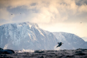
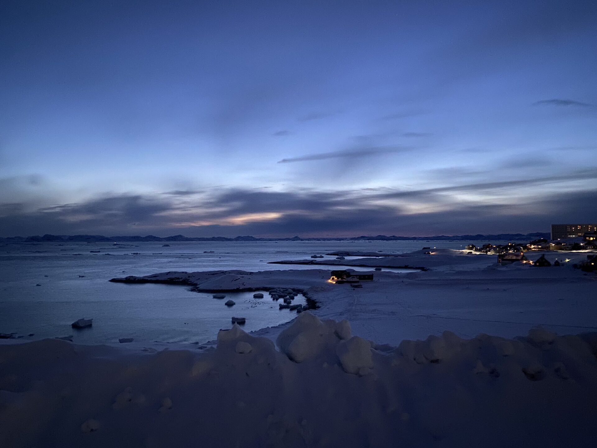
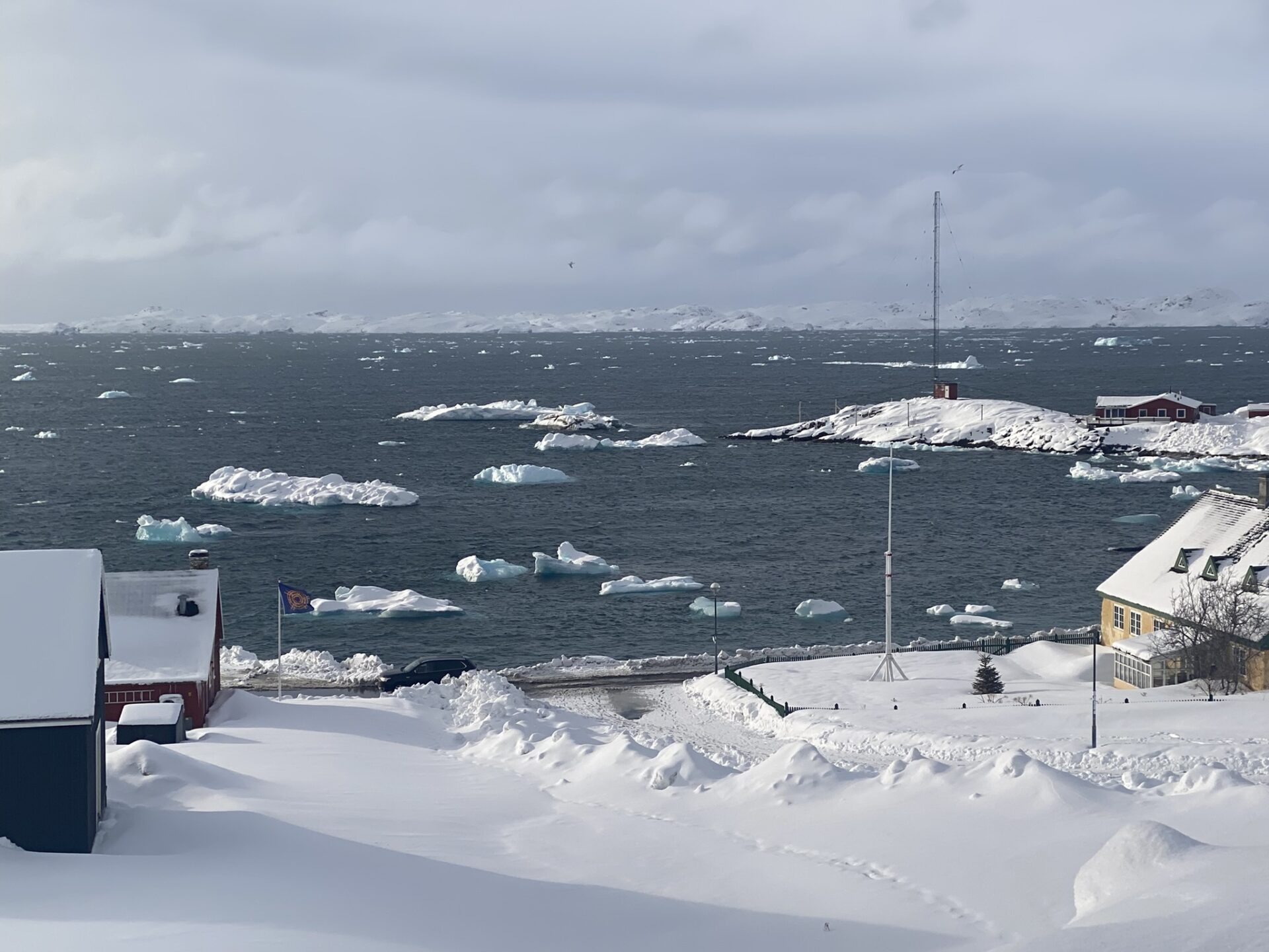
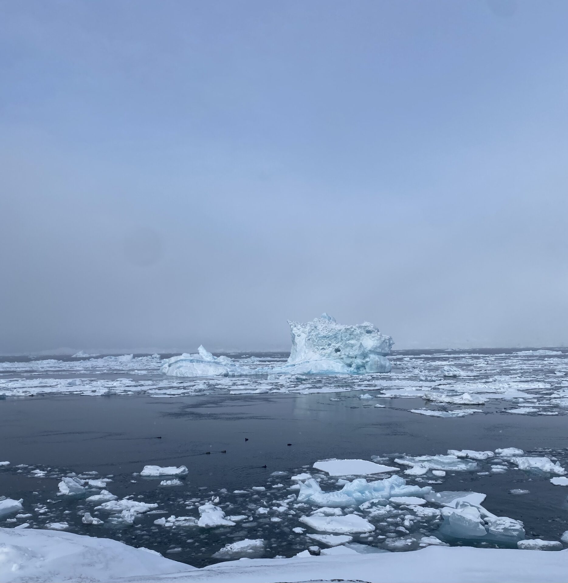
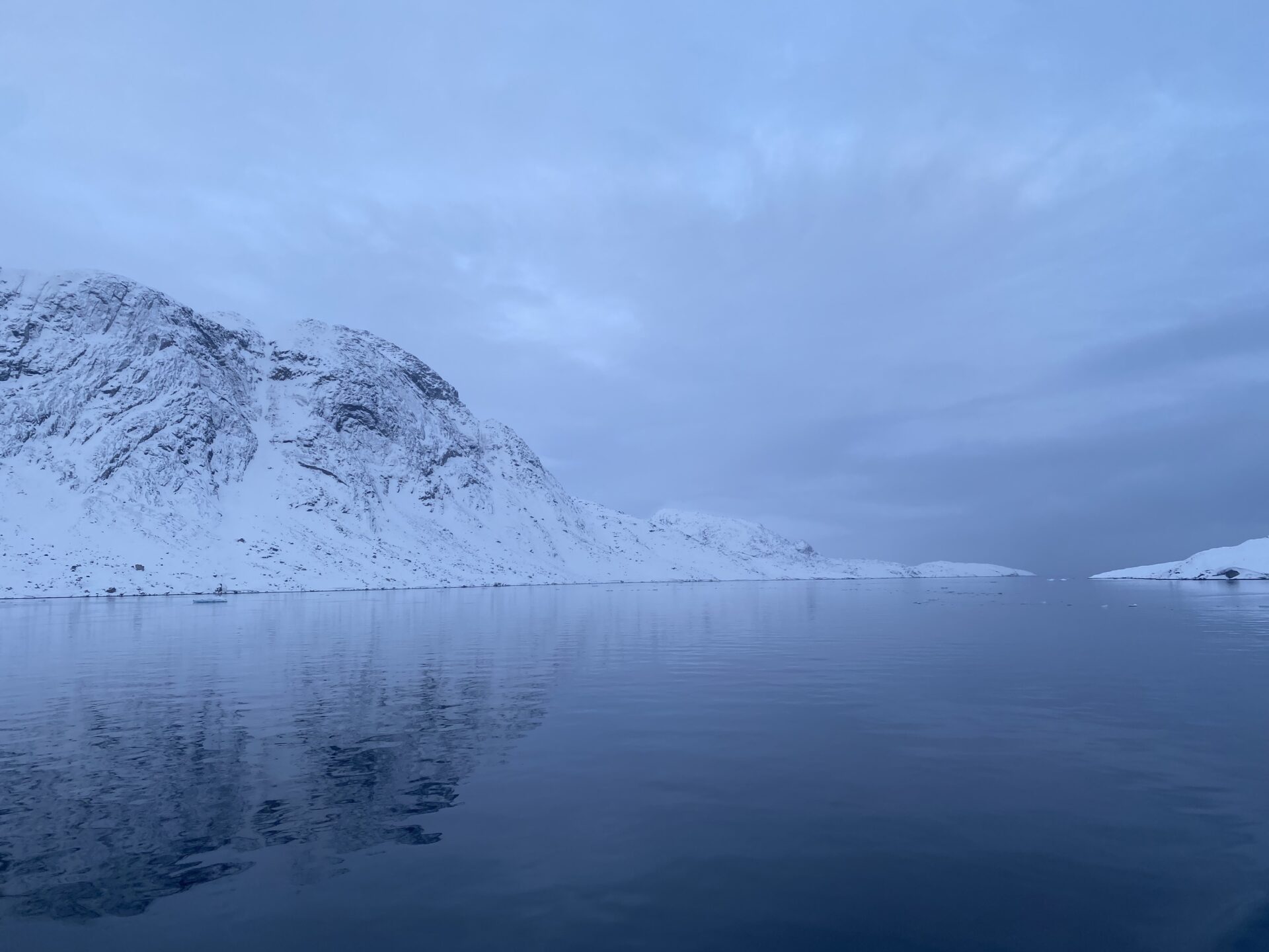
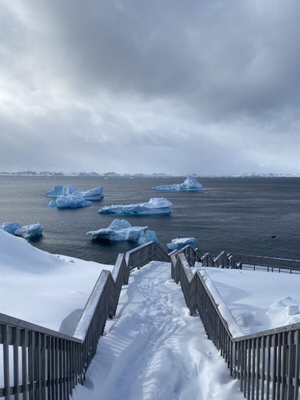
Above the sea surface, the sub-Arctic Labrador Sea is a cold and forbidding – yet often beautiful – part of our ocean. But beneath its often icy, unforgiving wind-swept surface, an ambitious, multi-faceted year-long underwater experiment involving advanced ocean robots, cutting-edge AI, and novel sensors is unfolding.
That’s because this remote region, between Canada and Greenland, is an important area for studying the biological carbon pump.
This is a process by which microscopic plants (phytoplankton) help draw carbon down from the atmosphere into the ocean, giving them a key role in the regulation of our climate by helping atmospheric carbon dioxide to remain lower.
This happens through two processes. One is by converting carbon dioxide into oxygen and organic carbon (sugars), which is incorporated in their bodies. The phytoplankton are then eaten by animals and bacteria, all of which – and their excretions – ultimately decay and sink, taking organic carbon-rich particles – known as “marine snow” – down into the deep ocean.
The second way is through physical ocean processes – such as heat and the amount of salt in the water (salinity), creating deep-water currents – which can help send these particles directly down to the deep.
But finding out just how much and how fast carbon is being stored in the ocean through these processes is, unsurprisingly, highly challenging.
So, scientists from the UK’s National Oceanography Centre (NOC) are using an arsenal of robotics and autonomous sensors to build a more precise picture of what is happening and how the Labrador Sea, a region with deepwater convection, could supercharge it.
Other features
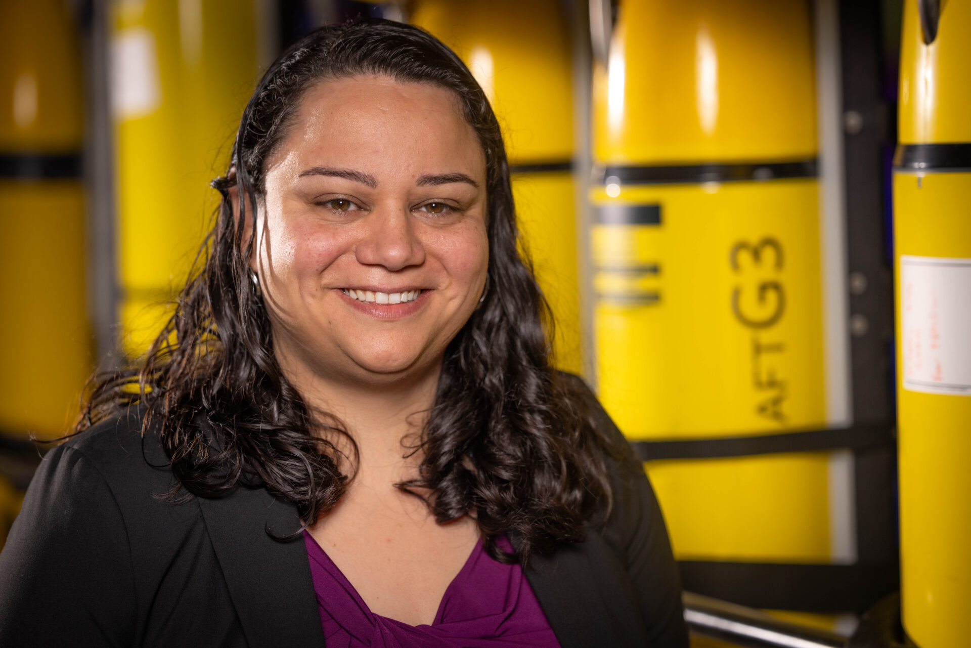
“Without the biological carbon pump, atmospheric CO₂ would be 50% higher,” says Dr Filipa Carvalho, an oceanographer at NOC and lead on the Natural Environment Research Council (NERC) funded project, called ReBELS (Resolving Biological carbon Export in the Labrador Sea).
“But the area where these processes occur, the twilight zone, is really difficult to observe and there are a lot of organisms and biology all doing different things that are hard to measure.
“This makes it hard to model, hindering our ability to predict how this really important process could change.”
One of the main uncertainties, which ReBELS aims to tackle, is the speed at which particles sink. This, explains Dr Carvalho, is because the biological carbon pump “is a race.” And a question of ‘how fast are organic particles sinking versus how fast they are being eaten by bacteria and turned back into inorganic carbon?’
“In order to calculate this carbon flux, we need to know particle sinking speeds. And it turns out that this is very difficult to measure, because these very small particles have different sizes and compositions and that affects the speed that they are sinking. Also, the abundance and types of particles, and therefore sinking speeds, change throughout the year,” continued Dr Carvalho.
“If the particles are pushed down quickly (so not just sinking), by something like a deep convection current – a sinking of cold dense waters, which we know happens in the Labrador Sea – this would make the area a key location for high carbon export (from the atmosphere) and retention (in the ocean).”
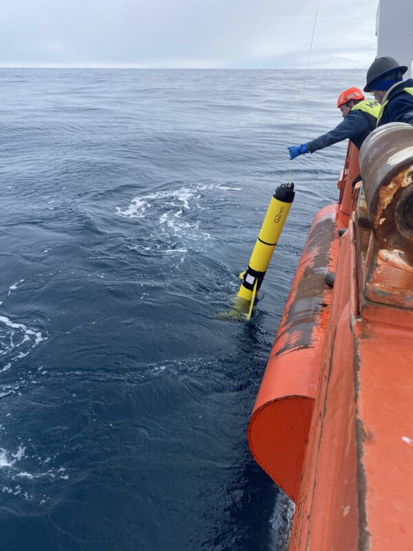
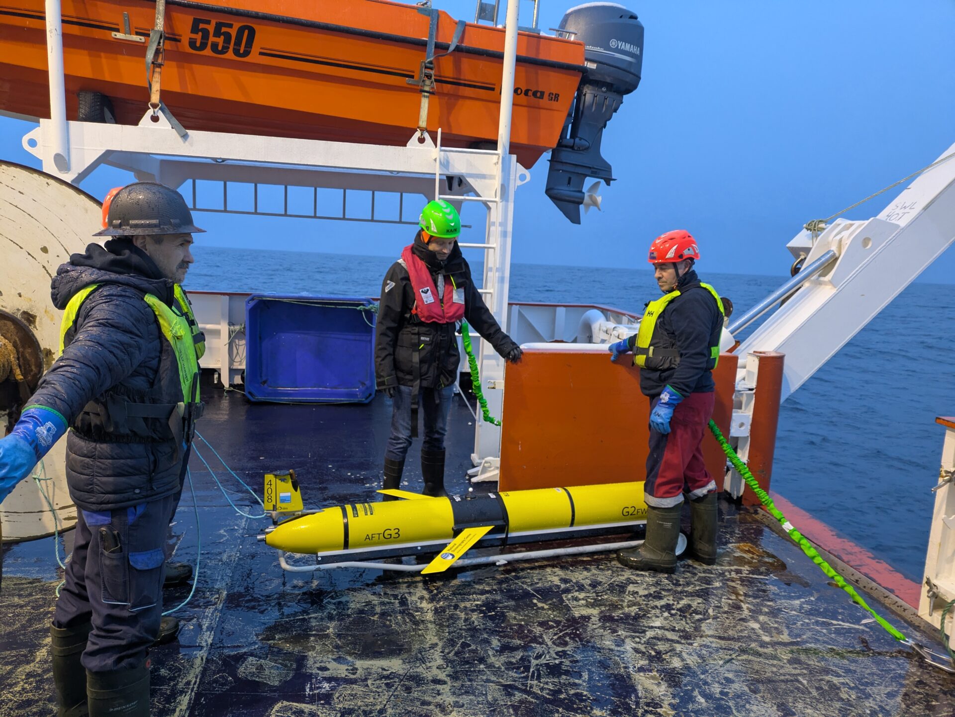
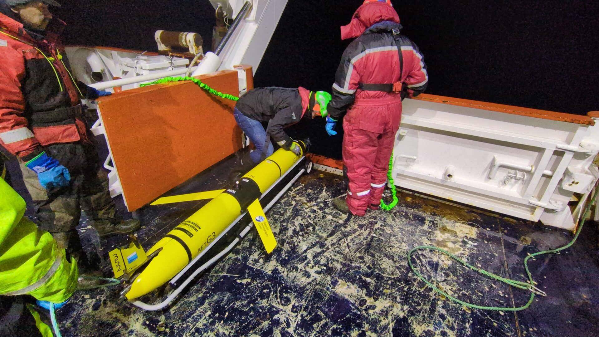
To tackle this challenge, the ReBELS project was devised using a combination of moored cameras and sensors, cutting-edge AI, a specialist drifting profiling float and supercharged underwater vehicles called gliders.
A major part of it is measuring the sinking speeds of different sizes of particles over a full year, something that has not been done before.
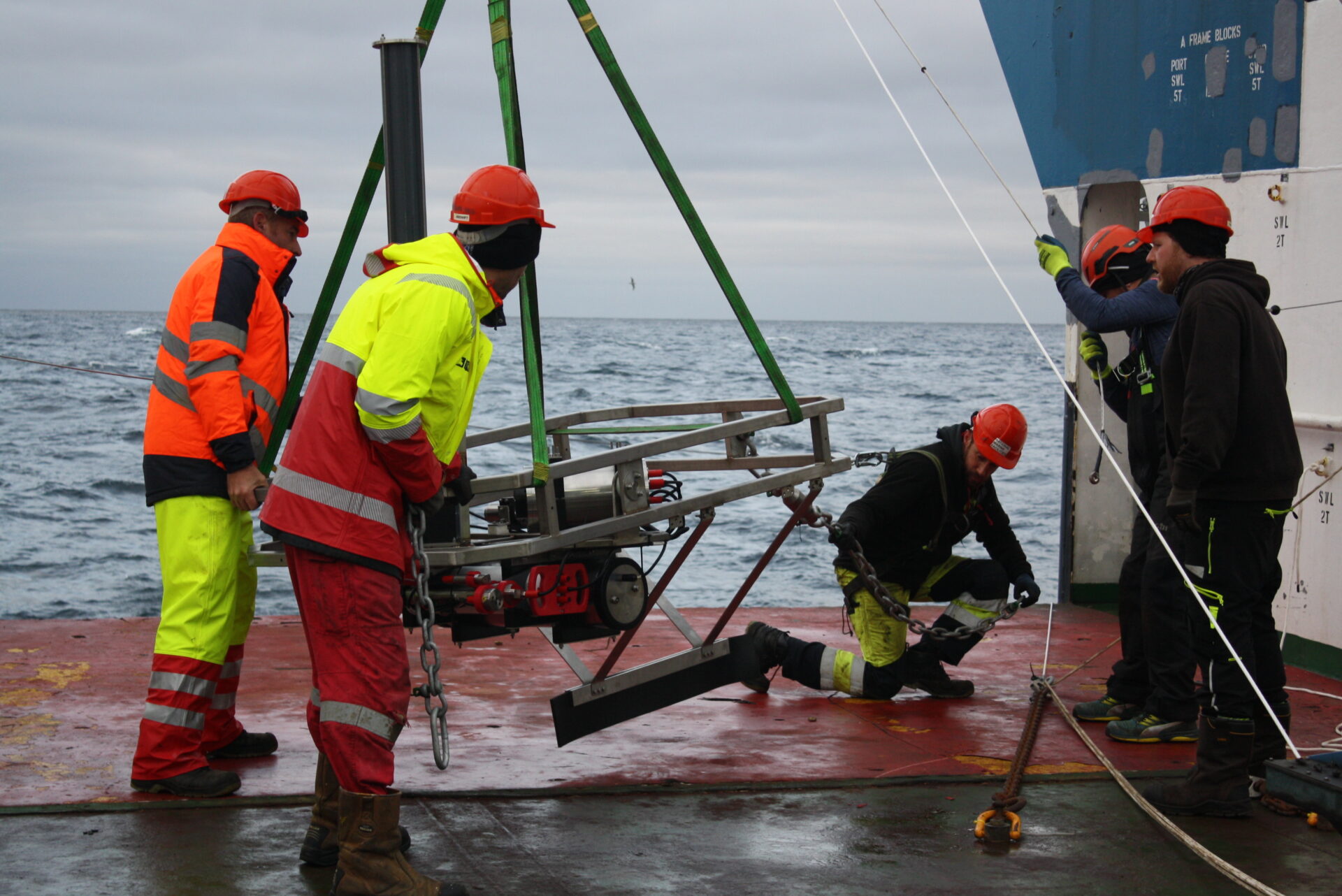
To do this, engineers in NOC’s National Marine Facilities and ocean technology and engineering team together with the project scientists have designed the FluxCAM, an innovative marine snow camera trap.
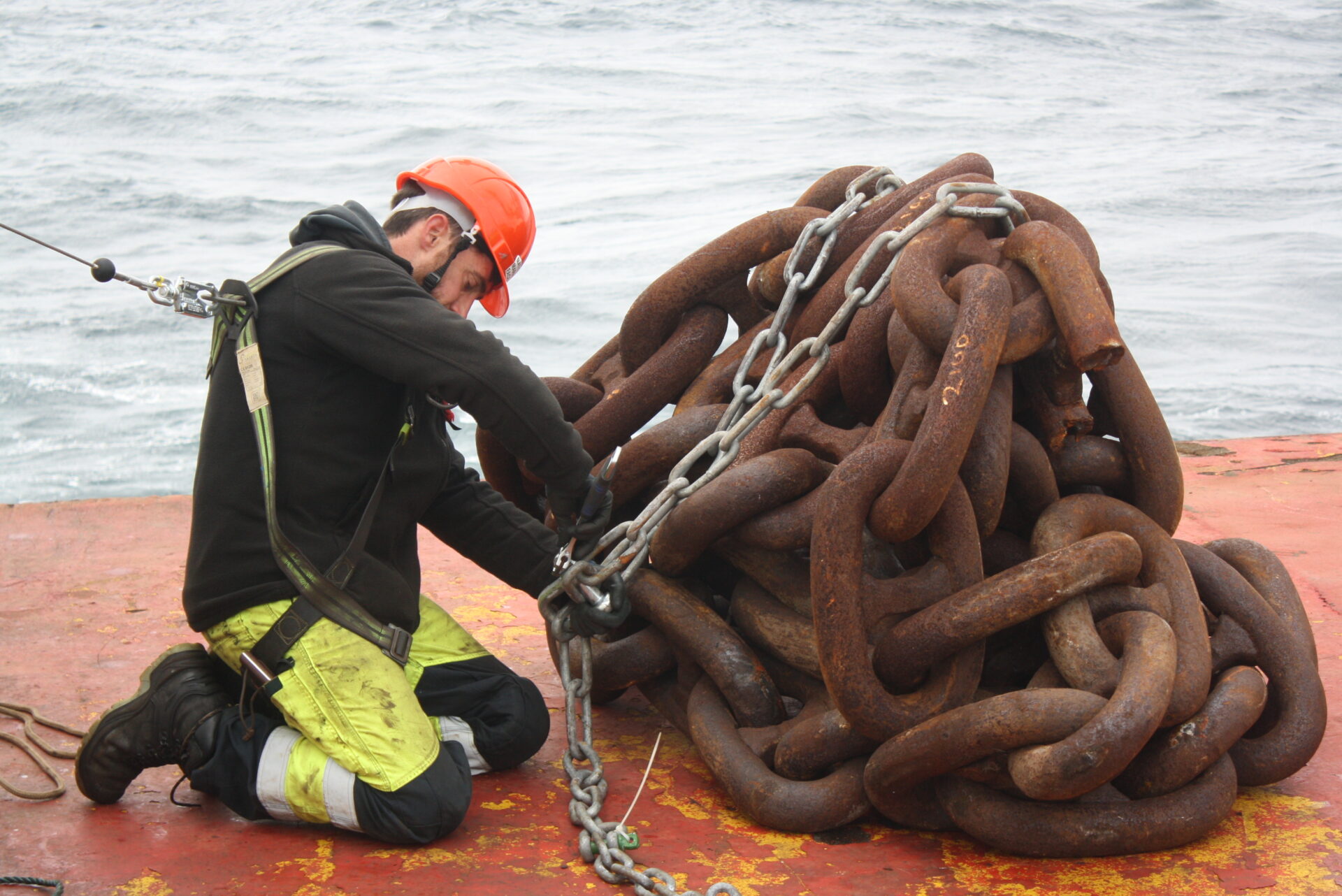
Two have been installed by the NOC-operated Royal Research Ship (RRS) James Cook, at 100 m and 300 m deep, on a 3,300 m-long mooring in the sea between Newfoundland and Greenland.
“This is really exciting, allowing us to capture the particles’ true sinking speed linked to their size and composition,” says Dr Carvalho. “It’s a custom-made system in the mooring, alongside bio-optical sensors and sediment traps, which are the more traditional way to measure carbon flux.”
Each camera is taking bursts of photographs of the falling “marine snow”, or particles, at set intervals throughout a full year deployment. Anything that sinks at from <1m-day to 100-200 m a day will be caught on camera, which will provide information on its speed and size. The scientists can then use AI to perform automatic particle detection and tracking to link particle size to sinking speeds.
“This is one of the big uncertainties that we currently have,” adds Dr Carvalho. “Because it’s hard using traditional methods to capture the huge range of particle sizes that there are, from several millimetres to micro and nanoscale, you could be making big assumptions and terribly underestimating or overestimating the amount of carbon flux.”
By getting this right, the team can “ground truth” the carbon flux calculations from bio-optical methods, used on moorings, ocean floats and underwater vehicles.
To do this, a specially adapted drifting profile float – an instrument that moves up and down the water column, at the mercy of underwater current– was deployed at the same time as the mooring, 50 nautical miles away. Joining the experiment.
The float has been specially programmed to get as much water column data as possible to let scientists look at the daily migration of zooplankton – the organisms that eat the phytoplankton, as part of the biological carbon pump.
Traditional profiling floats sink to 1,000 m, stay there 10 days, then gather profile data as they surface, transmit their data, and then start the cycle all over again on repeat – usually for around four to five years.
Instead, the ReBELS float, which will only expect to operate for a year, has been armed with more battery power so that it can run more profiles and at different depths – 200 m, 500 m and 1,000 m – between 1,000 and 2,000 m profiles. It will do this every day and a half, aiming to allow the scientists to understand day and night zooplankton migration patterns.
It’s also got extra sensors, compared with traditional floats, including a transmissometer which we can use as an ‘optical sediment trap’.
“This allow us to understand the amount of sinking particles when the float is drifting at the same depth, by looking at the accumulation of particles on top of the sensor,” explains Dr Carvalho.
“It was fitted with a UVP6 (underwater vision profiler), allowing us to understand the particle sizes out there and classify the larger ones – so we can understand if they are just large particles or zooplankton (who may be eating those particles) – about 90% of particles we see are just detritus).
“It also has a hyperspectral radiometer, which provides hints to phytoplankton diversity (another big uncertainty) through the water column. It does this by using light bands that are specifically targeted to discriminate among different phytoplankton pigment types.”
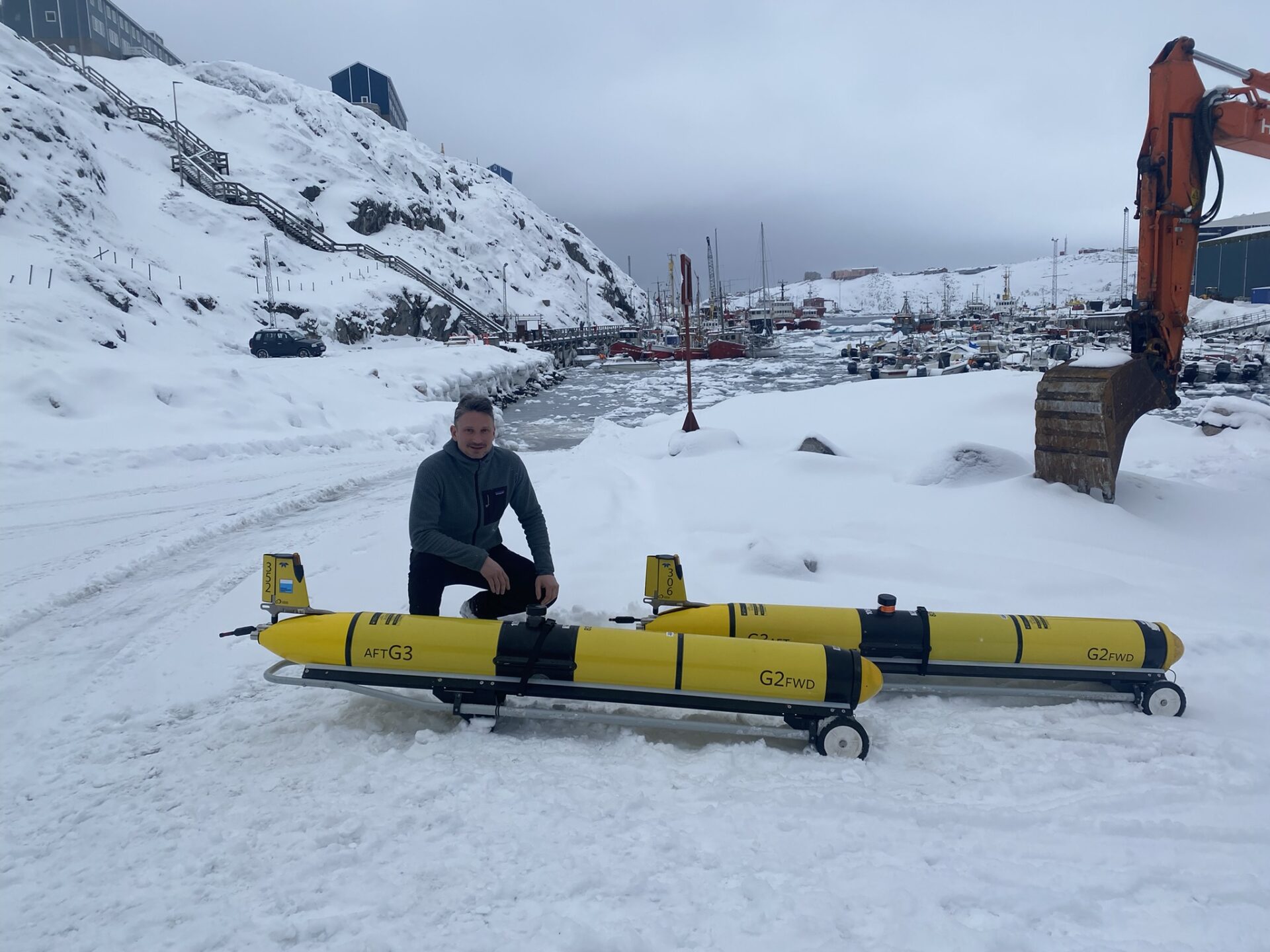
In addition to the float, underwater gliders, from the National Marine Facilities (NMF) glider fleet hosted by NOC, were deployed in late March (2025) for five to six months to perform high resolution water column sampling.
One will stay close to the “ground truth” mooring while and another will chase the float as it drifts with the ocean.
“This will help us to match the sinking speeds from the cameras to the bulk estimates from the glider bio-optics and translate that to the remaining gliders chasing the float,” says Dr Carvalho.
“Taking these different approaches helps to fill the gaps we might otherwise have,” says Dr Carvalho. “With just the mooring, we don’t know if a water mass is passing through and how that impacts the carbon flux estimates we get. The drifting float stays with the same water mass so what we observe is a consequence of the sinking or pushing down of the particles.
“We then have the glider following the float, gathering more data to understand how data varies across the region (spatial variability), as well as shipboard data we will gather and use to calibrate and validate our autonomous platform data.
“No one of these approaches will give us the whole picture. Each platform has its own advantages and disadvantages. What we are doing is setting up a year-long observatory, with multiple platforms, to leverage the benefits of each platform and reduce the uncertainties from individual methods.
“Gathering similar measurements in multiple ways also gives us redundancy and, because each has different assumptions around how we interpret that data, we end up with more robust information.
“Through our ground truthing and being able to better calculate the biogeochemical and biological variables, we will have less uncertainty from the measurements we get from our autonomous platforms.”
All these instruments are working remotely, with no human interaction, until the moorings and float are all retrieved late summer. While the scientists will have daily updates from the gliders, they will have to wait for the rest of the data.
If the project in the Labrador Sea is a success, it’s hoped to deploy the same combination of robotics and instruments again, either at the same site or elsewhere.
“This would mean we can evaluate how this region varies between years and/or see if the data collected in this region is representative of the whole ocean basin,” says Dr Carvalho. “It’s an exciting prospect.”

Printed editions
Current issue
Back issues


Enjoy so much more from Oceanographic Magazine by becoming a subscriber.
A range of subscription options are available.