Vast swathes of Caribbean's deep sea to be mapped for first time
Access challenges have previously prevented scientific study in the deep offshore waters, meaning the UK-led expedition is ripe for scientific discovery – including the potential to uncover new species.
Vast areas of the Caribbean’s deep waters are to be mapped and studied for the first time as part of a UK-led science expedition that could uncover new species.
The “Beyond the Reef” expedition is part of the UK Government’s Blue Belt programme, an initiative which supports UK Overseas Territories in the protection of over 4 million square kilometres of biodiverse ocean.
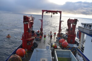
A team of 46 marine scientists are on board the scientific research vessel, the RRS James Cook, which set sail yesterday. They will spend six weeks collecting data and conducting research.
The governments of Anguilla, the Turks and Caicos Islands, and the Cayman Islands have expertise in managing coral reefs, mangroves and sea grass habitats around their islands, but difficulty accessing the deeper offshore regions has meant the waters are largely unchartered and unstudied.
Scientists will map and investigate the ecologies of seafloor and open-ocean species like grouper, snapper, and tunas as well as current fishing practices.
The survey will therefore produce some of the very first detailed maps of more than 5000-square-kilometres of the region’s seabed. Given the lack of scientific attention in these ecosystems, there is the exciting potential for the discovery of new species and ecosystems.

In other news
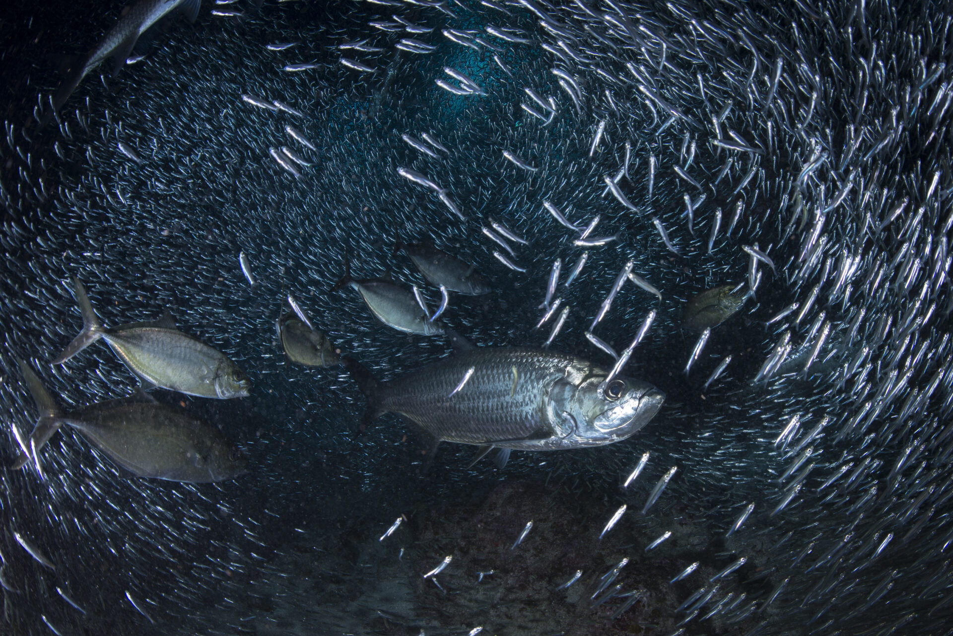
Fishing is central to the livelihoods, leisure, and tourism for many communities in Anguilla, Turks and Caicos, and the Cayman Islands.
Fish Aggregating Devices, free-floating devices to attract fish, are commonly used by fishermen in Anguilla and the Cayman Islands to attract species like tuna. However, these can also attract other species, like sharks, potentially increasing by-catch rates.
Very little is known about the distribution and abundance of commercially important species in the area, so the research also aims to inform the territories’ efforts to manage their economic waters sustainably and protect marine wildlife.
Dr James Bell, a deep sea ecologist from government science body CEFAS told the Press Association: “We’re here with a large ocean-going research vessel that is equipped with a lot of instruments and scientific gear, so that we can start to look at things like the biodiversity of these areas, [and] what species actually live in these places.”
“So when you’re designing marine conservation strategies like marine protected areas or fishing bycatch safety measures, you know what you’re trying to achieve,” he added.


"*" indicates required fields
Printed editions
Current issue
Back issues
Enjoy so much more from Oceanographic Magazine by becoming a subscriber.
A range of subscription options are available.