Ocean robots in the Arctic
Collecting scientific data in the high Arctic is a mission most urgent. The region is warming four times faster than the global average, yet it remains one of the least observed parts of the ocean. Collecting data is difficult anywhere; in the Arctic it is formidable.
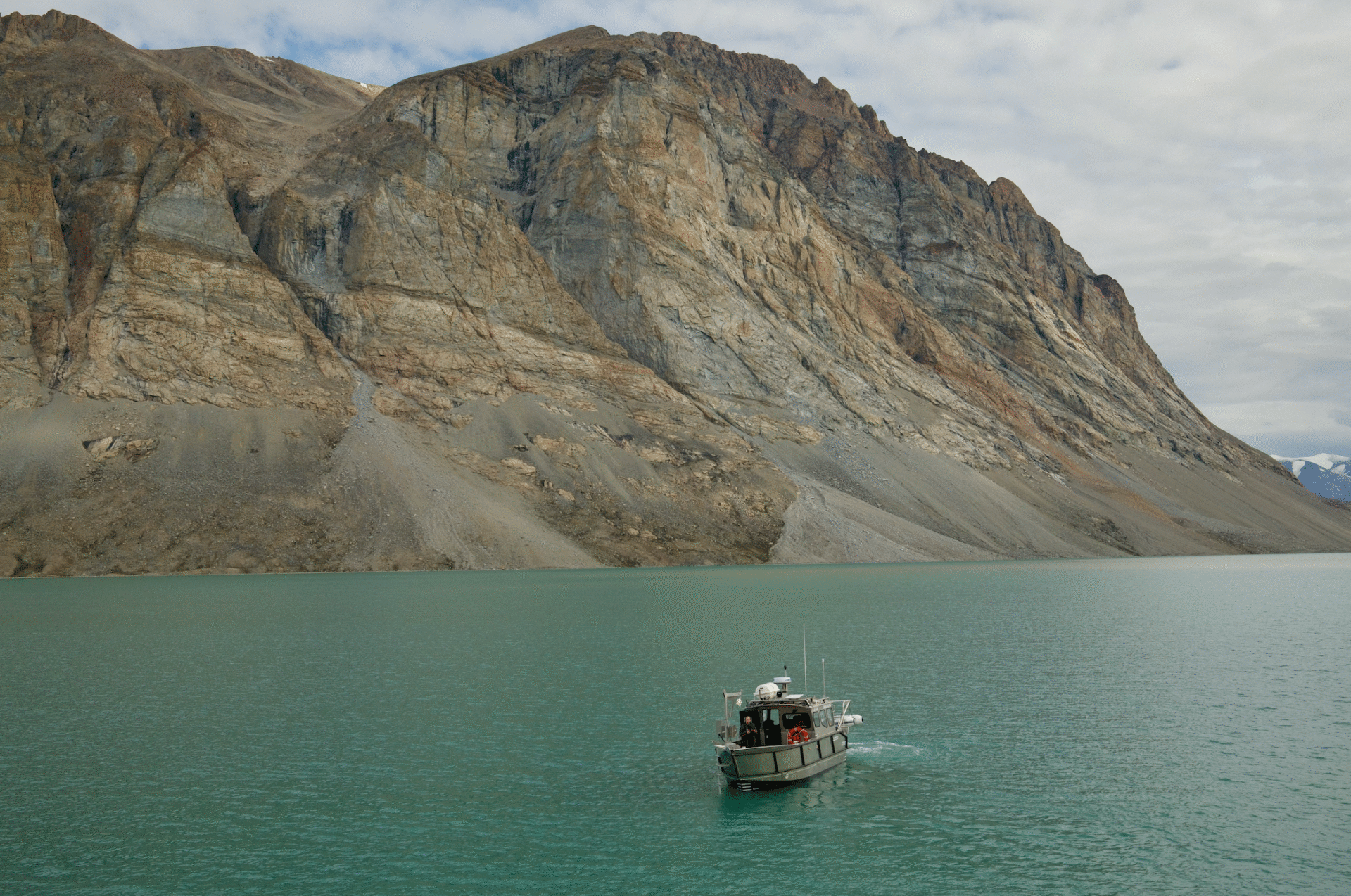
Low clouds clung to the fjord walls, hiding the mountain peaks while our research boat Arfivik pitched in the wind. We shut off the motor so all three of us could stand on the foredeck, silencing the last human sound for kilometres around.
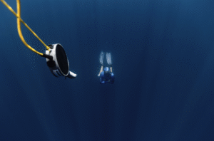
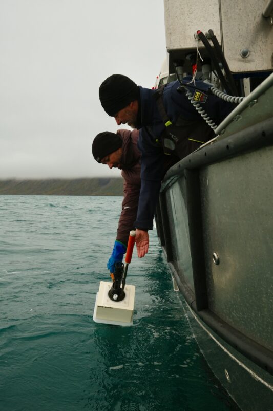
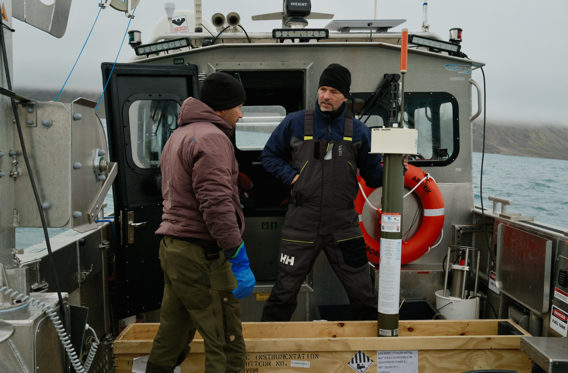
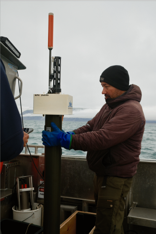
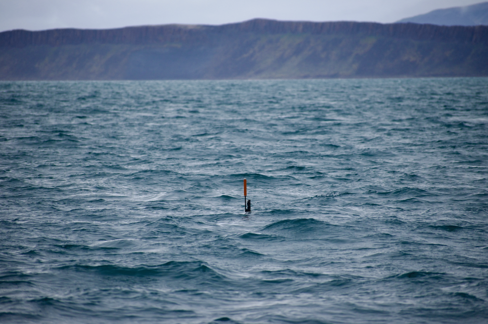
The salty air reddens our cheeks as we prise open the wooden box that houses our robot colleague. Fingers numb from the cold, we ease the Argo float over the side and let it slip into the grey-green swell. For a moment it bobs beside us, as if in contemplation of its mission, before diving into the cold depths. We – the researchers here overseeing this deployment – will be gone within weeks, exiled by the onset of Arctic winter, but the robotic float will remain, surfacing and diving all year to gather the measurements we cannot.
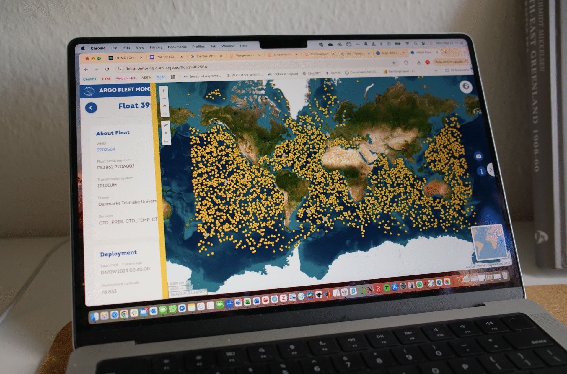
This single instrument is part of something far larger. During a recent expedition to Northeast Greenland, our team deployed an Argo float – one more node in a global network of more than 4,000 autonomous instruments that patrol the Earth’s oceans. Together they form the Argo Program, an international effort to map what goes on below the surface.
The name Argo was chosen to pair with NASA’s Jason satellites that observe the ocean from space. In Greek mythology, Jason sailed on the ship Argo in search of the Golden Fleece. Today’s fleet seeks a different prize: a three-dimensional “picture” of a rapidly changing ocean.
While satellites reveal the shape of the sea surface, the true heartbeat of the ocean lies beneath. Temperature, salinity (salt content), and pressure govern the flow of currents around the globe. Near the poles, cold and salty water form dense sinking columns, causing water to rise in other regions. This flow of water around Earth’s oceans determines much about our climate, including the exchange of heat and carbon with the atmosphere.
Traditionally, oceanographers relied on ships to measure the water’s properties, lowering instruments into the deep at stations one by one. This style of oceanography is costly and carbon-intensive, capturing only fleeting snapshots when researchers happen to sail by. To understand seasonal cycles or long-term trends, we need measurements that continue through heavy storms, winter’s darkness, and even under the ice.
Other features


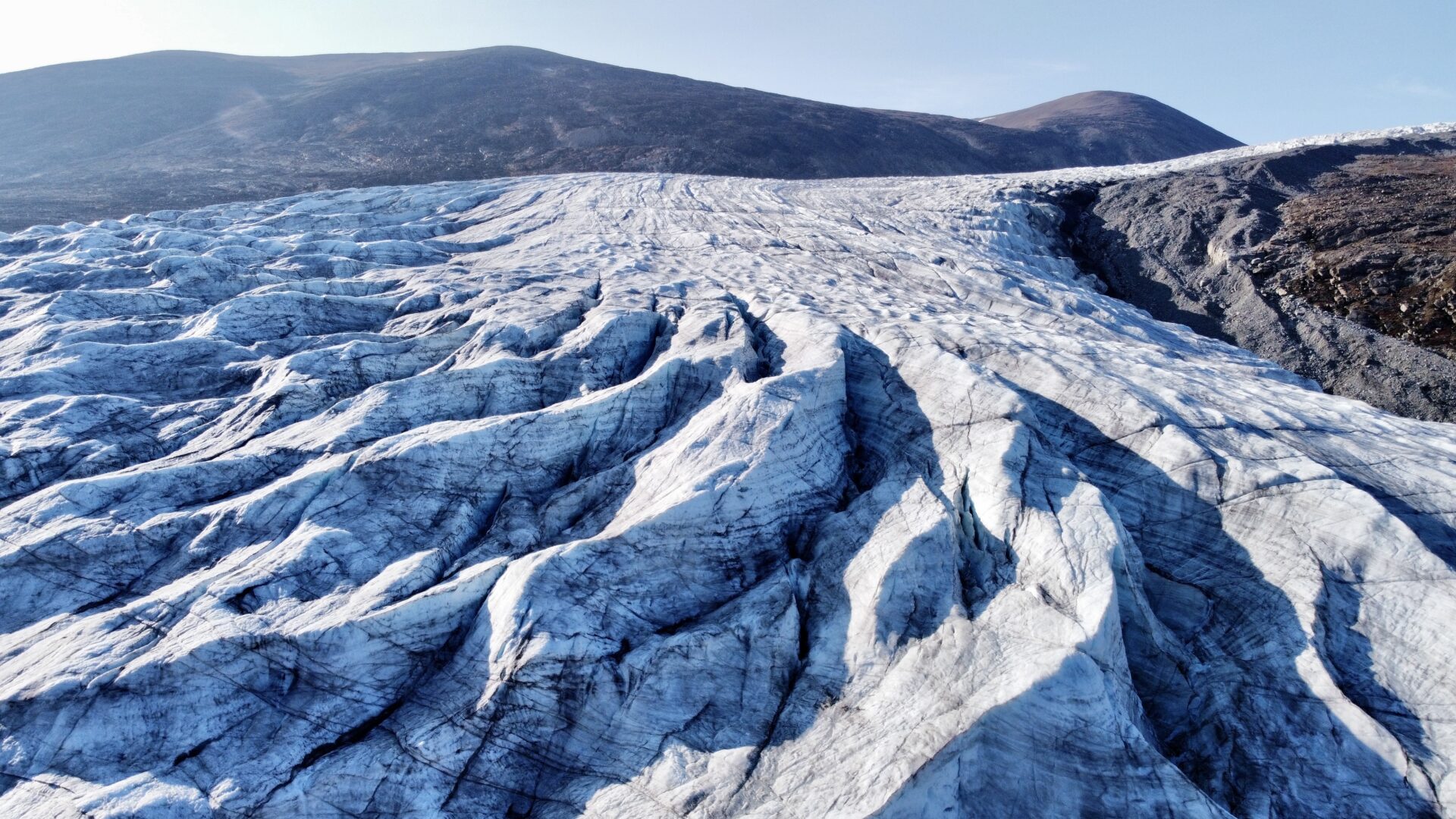
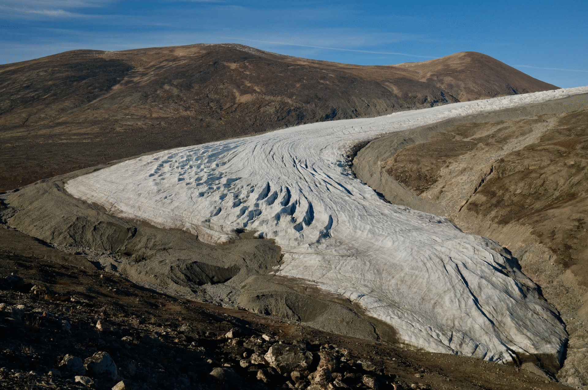
Nowhere is this mission more urgent than in the high Arctic. The region is warming four times faster than the global average, yet it remains one of the least observed parts of the ocean. Collecting data is difficult anywhere; in the Arctic it is formidable. Ice cover, polar night, and fierce storms limit ship access, meaning most measurements occur during the brief summer window when sea ice retreats and weather calms.
These global challenges are felt most sharply in the waters where we work. Young Sound lies inside the Northeast Greenland National Park, the largest national park in the world. Our little research station lies hundreds of kilometres from the nearest settlement, with our only neighbours being the sled-dog patrols of a small military station that watches over this remote corner of the world. For two decades, researchers from the Greenland Institute of Natural Resources and Aarhus University have partnered to monitor marine conditions here, tracking changes in circulation, water chemistry, and marine ecosystems over time.
While these long-term observations are incredibly valuable, most measurements are still limited to the month of August, when ice is at its minimum. This seasonal snapshot misses critical events like the formation and melt of winter sea ice, or the ongoing runoff from the Greenland ice sheet. Both processes extend throughout the year, changing coastal ocean circulation in ways we don’t fully understand.
The consequences can even reach far beyond Greenland’s coast. The Atlantic Meridional Overturning Circulation – a planetary conveyor belt that transports warm water towards Europe and returns cold water southward – helps set weather patterns across the globe. Increasing freshwater runoff risks slowing this circulation, raising sea levels along the North American east coast and shifting rainfall and storm tracks worldwide.
Closer to home, changes in ocean circulation ripple outward through the marine food web. Ocean currents determine where nutrients accumulate and thus where phytoplankton thrive. These microscopic plants support fish, seals, and the people who depend on them for food or for their livelihood. In essence, our understanding of Earth’s climate and marine resources starts with understanding where water is going.
But understanding these processes requires continuous data through the long winter, when ships cannot safely operate. An autonomous float offers a rare solution: one that can endure winter darkness and sea ice long after human researchers retreat. The float we set adrift is a sleek, olive-green cylinder operated by the Technical University of Denmark (DTU).
Despite their sophisticated sensors, Argo floats are elegantly simple in motion. They cannot steer horizontally; instead, they ride the currents like a message in a bottle. Inside, a small hydraulic bladder allows it to subtly change its buoyancy, much like a fish adjusting a swim bladder. A typical cycle for an Argo float lasts about ten days: the float waits where currents move slowly, then ascends, recording temperature, salinity, and pressure every metre on the way up. Powered by internal batteries, it can repeat this routine for more than five years, taking two-kilometre vertical profiles hundreds of times over its lifetime. That simple mechanism lets it yo-yo up and down through the water for years without human contact.
Already, the new float we deployed is transmitting its first profiles. One reason Argo has revolutionised oceanography is its commitment to open, real-time data. Within hours of surfacing, each float’s measurements appear on public servers where anyone – from climate scientists to coastal planners to curious students – can download them for free.
This openness and commitment to international collaboration are central to Argo’s success. The programme has no single global budget; more than 30 nations – among them the United States, Australia, China, Denmark, France, and Germany – buy, launch, and maintain their own floats, while shared data centres ensure rigorous quality control and instant public access. It’s a quiet but powerful example of international cooperation in the face of climate change.
Back in Young Sound, our own float had already begun its silent mission. As the Arfivik turned toward port, we watched it slowly descend into the Greenland Sea. While ice thickens overhead and polar night closes in, it will keep watch, rising and diving in its ten-day rhythm – a tireless colleague beneath the ice, listening to the ocean’s changing heartbeat.

Printed editions
Current issue
Back issues
Back Issues
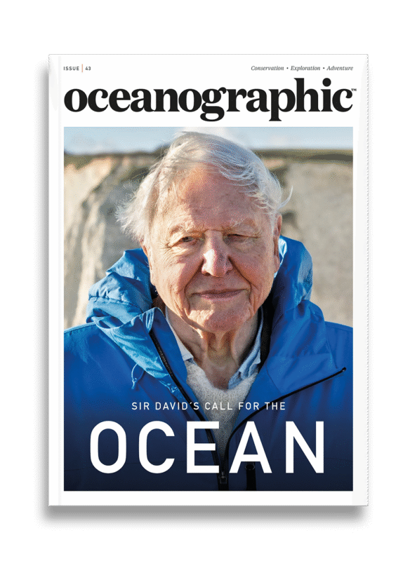
Issue 43 Sir David Attenborough’s ‘Ocean’


Back Issues
Issue 41 Holdfast to the canopy
Enjoy so much more from Oceanographic Magazine by becoming a subscriber.
A range of subscription options are available.
