New plan unveiled to map 10,000 never seen before deep-sea sites
A new scientific roadmap targeting 10,000 uncharted deep-sea locations will transform our understanding of life on the ocean floor – and lay the groundwork to protect it.

The deep-sea covers more than half of the planet’s surface, yet less than 0.001% of it has ever been visually explored – an area approximately a tenth of the size of Belgium.
A new roadmap identifying 10,000 sites for deep-sea visual exploration, unveiled this week, is about to change that.
The initiative is set to double the total number of unique seafloor locations ever observed by humans, connect the research dots between these landscapes, and build a better idea of global deep-sea landscapes.
This international effort, led by National Geographic Explorer and Founder of Ocean Discovery League Katy Croff Bell, aims to produce the first globally representative visual dataset of the seafloor.
This dataset should help scientists to identify new species, understand habitats, establish baselines, and ultimately make a case for protection of the deep ocean to both policy makers and the public.
The hope is that the new 10,000 locations will improve deep-sea biogeography, environmental modeling, global habitat classification methods, and be part of an open-access interactive global map model which allows the public to track progress as the observations are complete.
Historically, exploration has been concentrated in areas like the US, Japan and New Zealand: roughly half of the 0.001% of the seabed explored so far has been in these three countries.
So, this new dataset looks to explore a diverse range of new locations, building a better picture of the diversity of the seabed’s geography and ecology.
Locations due to be targeted were also chosen based on characteristics like seafloor depth, formation over time and sediment composition. A probability based system then took these variables to determine the 10,000 mapped points for exploration.

In other news
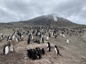
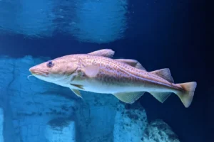
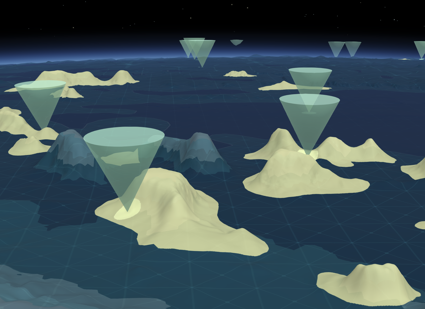
The project will see an increase in observations within the Abyssal Zone by 455%, expanded exploration targets by 327% in the Arctic Ocean and by 247% in the Southern Ocean.
The study is part of a wider multiyear series of scientific research expeditions that aim to reveal the impacts of environmental changes on our ocean and develop solutions to protect it, under the project name National Geographic and Rolex Perpetual Planet Ocean Expeditions.
The first two locations completed were surveyed during the National Geographic and Rolex Perpetual Planet Southern Ocean Expedition, conducted in collaboration with the Schmidt Ocean Institute aboard its R/V Falkor (too).
“This research provides the first scientifically rigorous and visual roadmap to bridge the massive gap in our understanding of the ocean, where more than 99% of the deep seafloor remains unseen,” said Ian Miller, chief science and innovation officer at the National Geographic Society.
“The Global Deep Sea Exploration Goals are designed to transform how deep-sea research is conducted, through global cooperation and equitable capacity building,” said Bell.
“The result, over time, will be a more inclusive deep ocean community and a representative visual baseline of the deep seafloor that researchers everywhere can build from for decades to come,” she added.


"*" indicates required fields
Printed editions
Current issue
Back issues
Enjoy so much more from Oceanographic Magazine by becoming a subscriber.
A range of subscription options are available.